I
History
Evidence of human inhabitation at South Shields dates from the Late Mesolithic. The first evidence of a settlement within what is now the town of South Shields dates from pre-historic times. Stone Age arrow heads and an…

South Shields is a coastal port town in South Tyneside, Tyne and Wear, England; it lies on the south bank of the mouth of the River Tyne. The town was known in Roman times as Arbeia and as Caer Urfa by the Early Middle Ages. It is the fourth largest settlement in Tyne and Wear, after Newcastle upon Tyne, Sunderland and Gateshead; in 2021, it had a population of 75,337.
County
Tyne and Wear
Known for
Town in Tyne and Wear, England
The story of South Shields — from the archive to today.
Evidence of human inhabitation at South Shields dates from the Late Mesolithic. The first evidence of a settlement within what is now the town of South Shields dates from pre-historic times. Stone Age arrow heads and an…
South Shields is situated in a peninsula setting, where the river Tyne meets the North Sea. It has six miles of coastline and three miles of river frontage, dominated by the massive North and South Piers at the mouth of…
The area's climate has mild differences between highs and lows; there is adequate rainfall year-round. The Köppen Climate Classification subtype for this climate is "Cfb" (Marine West Coast Climate/Oceanic climate).
Before 1820, South Shields was a predominantly sparse hamlet- and village-based rural economy with some small-scale shipbuilding, glass making and salt processing along the riverside. Beyond 1820 and…
South Shields has been home to a Yemeni British community since the 1890s. The main reason for the Yemeni arrival was the supply of seamen, such as engine room firemen, to British merchant vessels.…
The Bangladeshi community is larger than the Yemeni community, despite being less established. It is the third largest in the North East of England. In 2008, the Bangladesh Welfare Association was…
South Shields is a safe Labour Party Parliamentary seat, the only constituency in existence since the Great Reform Act of 1832 never to have elected a Conservative MP. It is currently held by Emma…
Venues nearby
Museums, theatres and attractions — not business listings.
Walks nearby
Assigned walks plus nearby routes within a short drive.
moderate · 8.2km
Marsdon
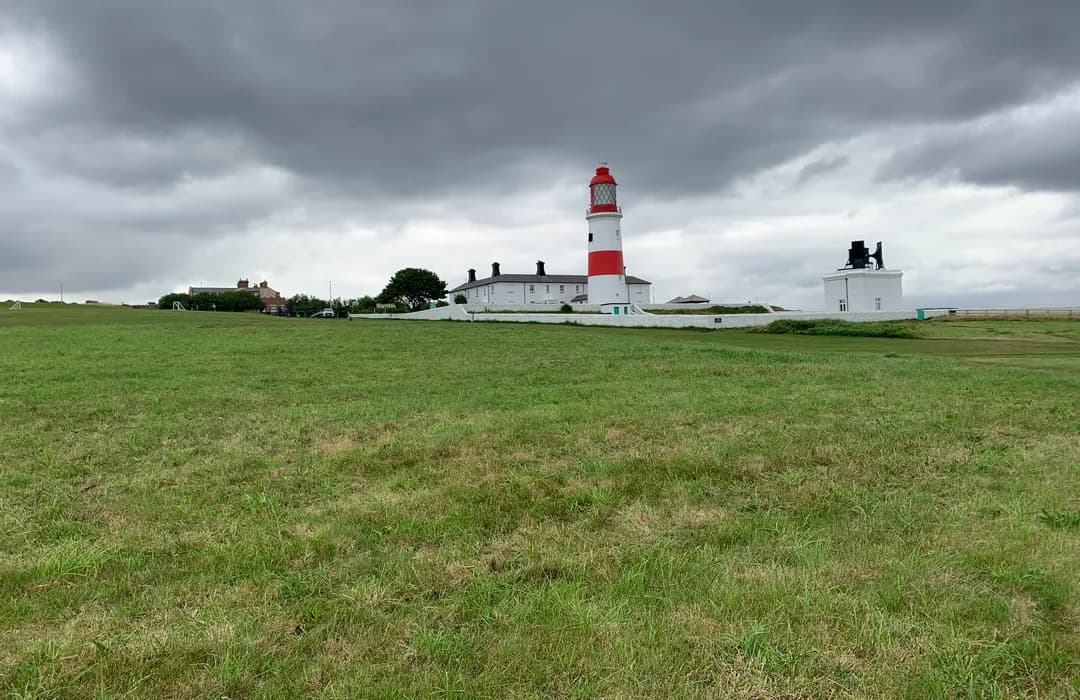
easy · 13.5km
South Shields
moderate · 10km
Marsdon
easy · 1.9km
North Shields
easy · 4.3km
East Boldon
hard · 130km
North Shields
easy · 3.5km
North Shields
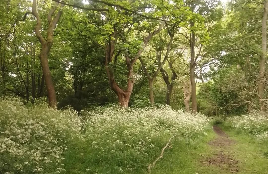
easy · 1.1km
South Shields
MyTyne directory
Places near South Shields from the MyTyne directory.
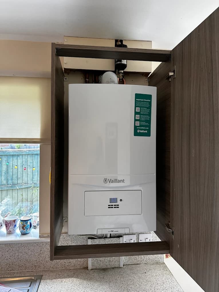
Heating Engineers
South Shields
South Shields' Trusted Heating Engineers
Electricians
Tynemouth
Roofers
Tynemouth
Florists
Tynemouth
Pubs
Tynemouth
Combining good food & drink with friendly service and inviting atmosphere at The…

Bridalwear
Tynemouth
We are exclusively off-the-peg, meaning we have over 200 wedding dresses in stock, from…

DIY & Hardware
Tynemouth
Store details for Toolstation South Shields • Open 7 days a week • Click & Collect in as…

Clinics
Whitley Bay
Laser Tattoo Removal, Laser Hair Removal, IPL Hair Removal, Whitley Bay, Newcastle, North…
What's on
Thu 30 Jul · Standard
Hoults Yard · Newcastle
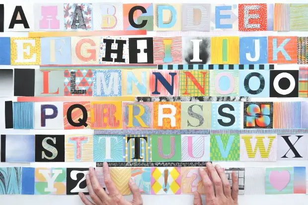
Thu 30 Jul · Standard
Baltic Centre for Contemporary Art · Gateshead
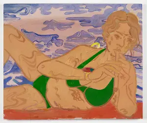
Thu 30 Jul · Standard
Baltic Centre for Contemporary Art · Gateshead
Thu 30 Jul
Baltic Centre for Contemporary Art · Gateshead
Thu 30 Jul · Standard
Baltic Centre for Contemporary Art · Gateshead
Thu 30 Jul · Standard
Baltic Centre for Contemporary Art · Gateshead
South Shields · 54.9950, -1.4300
Map data © OpenStreetMap contributors.
Explore the map, browse nearby guides, and find what's on across Tyne & Wear.